
We had Lunarpages for years, then they were bought out with HostPapa which is now upselling me to managed hosting by saying my current site with 20 visits a day is using to many resources. They’ll gladly optimize for $$. No dice, moving everything over to NameHero where they had super fast nVME storage and LiteSpeed servers.
Test UTMs
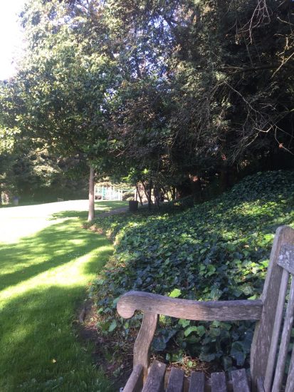
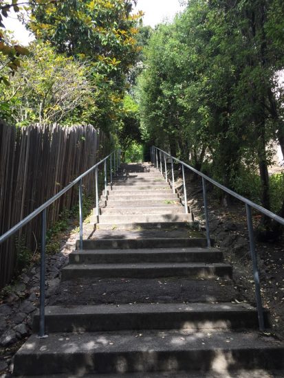
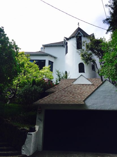
Below the Cemetery
Location: Neighborhood bordering the Mountain View Cemetery in Oakland & Piedmont, CA
Source: Oakland/Piedmont Way of Trees walk, from the book, Hidden Walks in the East Bay & Marin by Stephen Altschuler.
Features: Tree lined streets, Pleasant Valley Ct., hidden shortcuts and beautiful Dracaena Quarry Park.
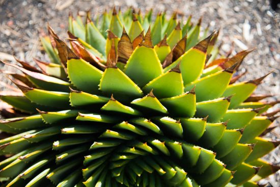
This walk covers an area I often drive by while traveling to either Piedmont or Mountain View Cemetery. I didn’t realize the hidden gems of the area; especially Dracena Park, which is another stellar, well maintained park in the town of Piedmont.
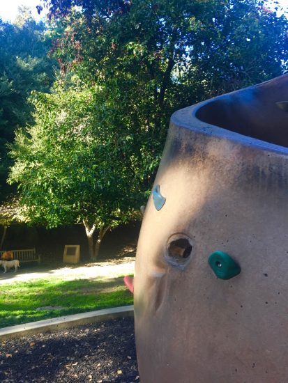
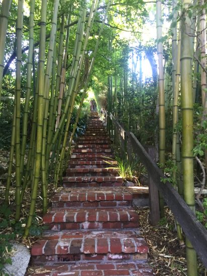
Starting just below the entrance gate to Mountain View Cemetery, go through an old walkway by an old warehouse and you end up walking through Pleasant Valley Ct., which is an old development of small bungalows. The walk continues into Piedmont and beautiful Dracaena park which part of a flourishing rock quarry. Groves of beautiful trees surround the park and its lush lawns. Fancy kids play areas with a slide and climbing rock. The park has several access points to surrounding neighborhoods and has a great dog trail and bridge in it’s north end. I noticed that many Piedmont’s neighborhoods have rose colored sidewalks. Some have exposed aggregate where public works crews ground them down to a smooth bevel in order to maintain a smooth walking path.


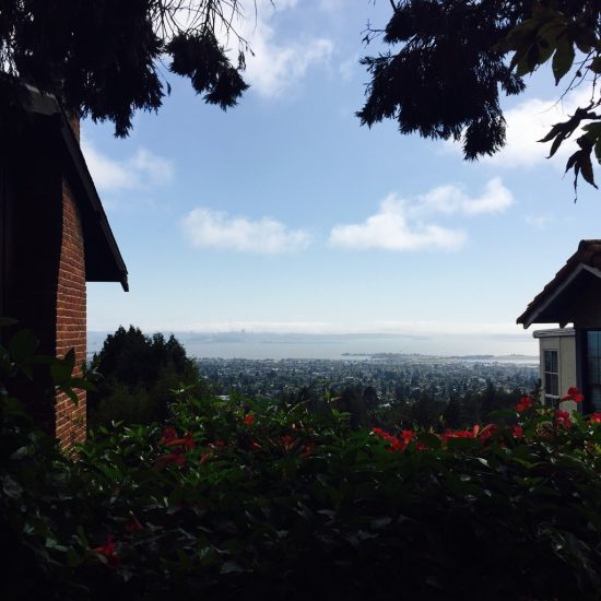
Kensington
Location: Kensington in the Berkeley Hills, Solano County, CA
Source: Below the Hayward Fault walk, from the book, Hidden Walks in the East Bay & Marin by Stephen Altschuler.
Features: Central village district with cafes, market, wine/cheese shop and hardware store. Hidden pathways through hilly residential area. Great views of the San Francisco Bay.
With current knee issues, I needed a short walk and the Kensington walk from Hidden Walks books filled the bill. Besides, I’m curious about this tiny, unincorporated village in the East Bay Hills.
Starting just below the central ‘village’ of the town, you wind through some nice hidden paths where you can get some beautiful views and see some interesting pine trees.


Belvedere – Tiburon
Location: Belvedere & Tiburon in the North Bay of San Francisco Bay, Marin County, CA
Source: Belvedere Means “Beautiful View” walk, from the book, Hidden Walks in the East Bay & Marin by Stephen Altschuler.
Features: Downtown Tiburon, Belvedere Shopping area. boats, water and bay views.
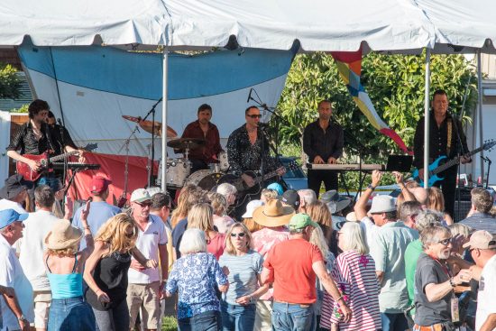
Well, I picked a good day to hike Belvedere and Tiburon, as there was a free concert (Neil Diamond cover band!) near the start of my planned walk. Before beginning the walk, I relaxed in the park to watch the band, Crackling Rosie and the tipsy, dancing audience.
Mill Valley Lanes
Location: Mill Valley, Marin County, CA
Source: Mill Valley Lanes walk, from the book, Hidden Walks in the East Bay & Marin by Stephen Altschuler.
Features: Roads and steps above and around the village of Mill Valley and along the Corte Madera Creek.
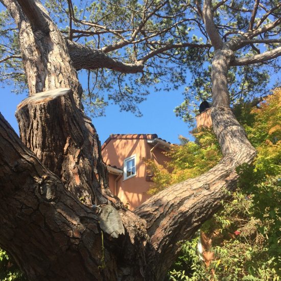
The village of Mill Valley is one of my favorite places to unwind and relax away from the urban scene of Oakland. Nestled in the coast redwoods below Mt. Tamalpais, Mill Valley has many nice shops, book stores and restaurants nestled in it’s town center.
Before starting my hike, I picked up some lunch from the excellent Mill Valley Market. The deli department has a great selection of dishes at it’s hot table and salad bar–so many choices! Today I got curry vegetables, pork ribs and swedish meatballs. Next stop is to one of the best coffee shops in the entire Bay Area, Equator Coffee. Over an Americano, I can plot my course…
This hike starts just down the street from Equator on Miller Ave. behind the Mill Creek Plaza shops. In the back of the parking lot (if you look carefully) are some wooden stairs that take you up the steep hillside, behind the village. From here you start to get a great view of Mt. Tam and the rest of the village below. You then proceed along a wooded lane where you’ll see small, secluded houses until you get wind back to town at Throckmorton Avenue. From here, cross the street and head up the opposing hill through a network of small streets and stairways. Eventually you get to Corte Madera Creek which you follow into the shady woods.
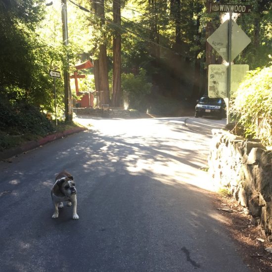
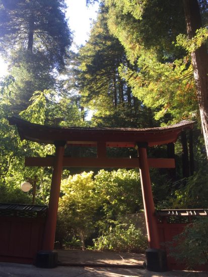
Approaching a Japanese style gate I was approached by a friendly bulldog sentry. He kept me company for awhile as I continued to walk a bit further than the directions in the guide book. Eventually I crossed the creek where Corte Madera meets W. Blithedale Ave., then continued down this road until I was back in the village by the Mill Valley Market.


Lake Anza
Location: Lake Anza/Tilden Regional Park, Berkeley, CA
Source: Tilden Regional Park: Lake Anza hike from the book, East Bay Trails by David Weintraub.
Features: Loop around Lake Anza, a recreational swimming reservoir in Tilden Regional Park
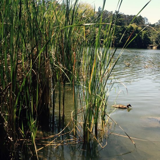
It was a gorgeous summer day for a relatively short walk around Lake Anza. Starting by the pool entrance area, I started walking on the left side trial which crosses a creek and then circuits the lake. Scrambling over some rocks wasn’t the best thing for my strained knee but there was some beautiful views and a fun narrow section to test your balance right by the waters edge.
Overall, a fun, short hike that is not far from home.

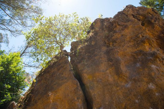
Berkeley Rock Parks Hike
Location: Rock Parks in Berkeley, CA
Source: The Rock Parks from Berkeley Walks by Johnson/Byron
Features: Traveling through old neighborhoods via sidewalks and hidden paths mixed with large volcanic rocks and rock formations.


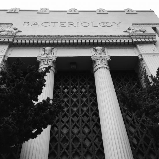
UC Berkeley Campus South Side Walk – Part 1
Location: UC Berkeley campus in Berkeley, CA
Source: The UC Campus Walk from Berkeley Walks by Johnson/Byron
Features: Groves of trees, creek, bridges and many impressive and diverse campus buildings
Started at Center and Shattuck in downtown Berkeley and headed up to the campus passing by a row of casual eating spots.

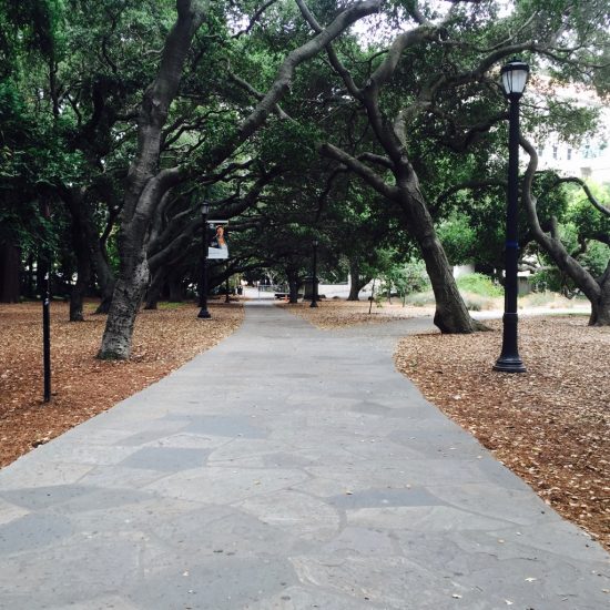
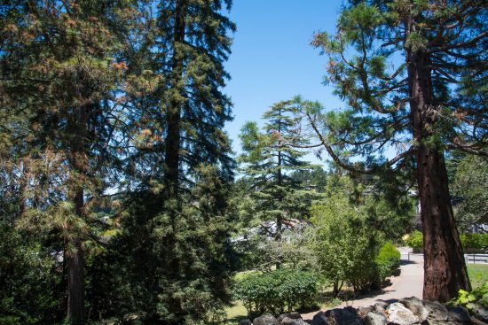
Once inside the campus you’ll notice the impressive trees; many large redwoods can be seen. Strawberry creek is crossed over many times by a variety bridges.


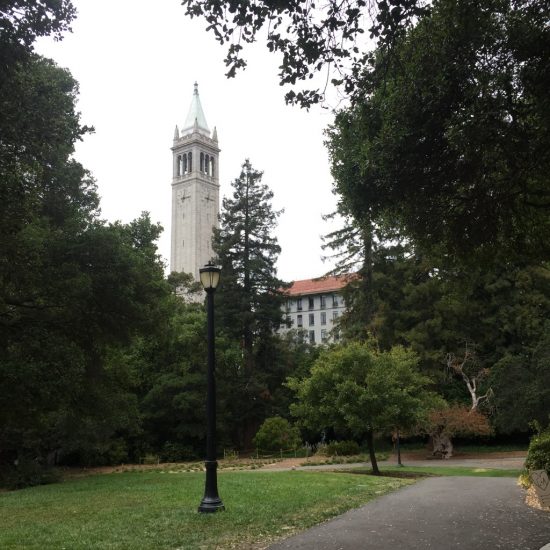
Near the far east side of the campus by Haas School of Business, but before Memorial Stadium, I crossed the street to visit International House and its large coffee shop.
Since the fog was making this a chilly walk, I decided to shorten my trek by returning to downtown Berkeley via Bancroft Ave.
Codornices Creek Walk
Location: Codornices Creek neighborhood in Berkeley, CA
Source: Berkeley Walks by Johnson/Byron
Features: Codornices Creek, watershed and an urban waterfall.
Nice afternoon to walk a portion of the Codornices Creek Walk from the book, Berkeley Walks. Warm day but the fog could be seen making an appearance over the San Francisco Bay.

I shortened the walk by starting on Hawthorne Lane (by Vine) and proceeded up the Vine Lane path. I then walked up Euclid to the famous Rose Walk with it’s Maybeck designed entrance of steps and clustered community of houses. At the end of the Rose Walk, you keep heading straight up into the hill on Shasta Road which bends north (see the gorgeous watershed and Swiss chalet style house at 2645 Shast) and then forks into Keith Ave.

From Keith Avenue, the Berkeley Walks guide has two optional paths and trails that take you further up into the hill, but I found one of the paths closed with some orange cones due to renovation work.

Since I wanted to shorten the walk a bit, I proceeded down the steep El Mirador Path stairs. Lots of whimsical artifacts like gnomes and a painting dot this path!

I then followed Euclid back to the Berkeley Rose Garden and Codornices Creek Park across the street. At the park, you can find the closed off entrance to a tunnel. A curious urban explorer would probably circumvent this fence! Go through the tunnel which takes you to the an area by the Rose Garden tennis courts. Follow the little path behind the bathroom to bypass another fence.


After the Berkeley Rose Garden, I continued on Euclid until I found my way back to the top of Hawthorn Terrace and my starting point.